Introduction to Murchison Falls National Park
Nestled in the heart of Uganda, Murchison Falls National Park is a treasure trove of natural beauty and wildlife. This stunning park, named after the dramatic waterfall that cuts through the Nile River, offers visitors an unforgettable experience filled with adventure and discovery. From its lush landscapes to diverse animal species, every corner holds something special waiting to be explored.
As you traverse this remarkable destination, you’ll encounter towering trees, vast savannas, and breathtaking views. Whether you’re a seasoned traveler or planning your first safari trip, Murchison Falls National Park promises moments that will leave you spellbound. Ready to uncover some secrets about this enchanting park? Let’s dive deeper into what makes it such an extraordinary place!
The Wildlife and Natural Wonders of the Park
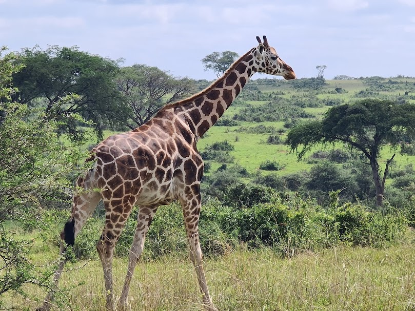
Murchison Falls National Park is a wildlife enthusiast’s paradise. Stretching across 3,893 square kilometers, it’s home to an impressive variety of species.
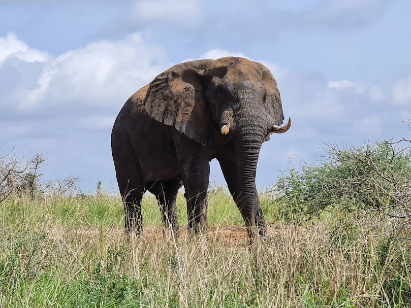
Here, you can spot the majestic African elephant roaming freely alongside herds of buffalo. The park also boasts over 450 bird species, making it a haven for bird watchers.
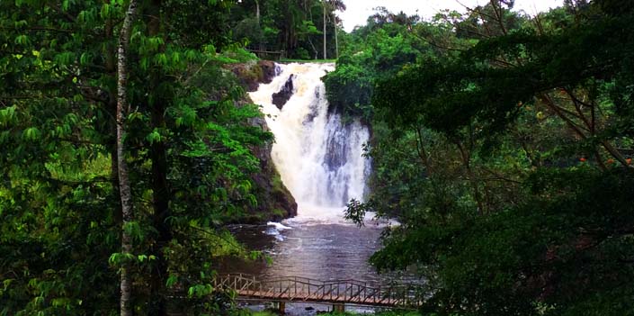
The Nile River flows through the park, creating stunning landscapes and providing habitats for hippos and crocodiles. The dramatic Murchison Falls itself offers breathtaking views as the river squeezes through a narrow gorge before plunging down.
As you explore further into the savannahs and woodlands, you’ll encounter lions lounging in the grasslands or leopards stealthily moving among the trees. Each moment spent here unveils nature’s splendor at every turn.
Uncovering the Hidden Gems: Lesser-Known Attractions in Murchison Falls
Murchison Falls National Park is more than just its iconic waterfall. Tucked away in the park are lesser-known spots that offer unique experiences.
One hidden gem is the Rabongo Forest, a serene escape filled with lush trees and vibrant birdlife. It’s perfect for nature lovers seeking tranquility away from the crowds.
Another secret treasure lies at the Nile Delta. Here, you can witness stunning views as the river meets Lake Albert. The area is also rich in biodiversity, making it an excellent spot for wildlife enthusiasts and photographers alike.
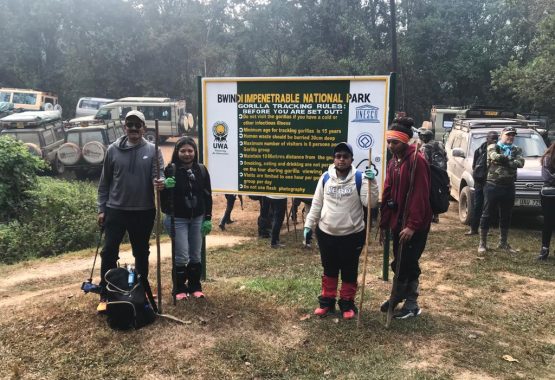
For those interested in cultural encounters, visit nearby communities to experience local traditions and crafts firsthand. This adds depth to your visit beyond typical tourist activities.
These attractions provide a different perspective on Murchison Falls National Park, showcasing its diverse beauty and charm.
Best Times to Visit Murchison Falls and Tips for a Successful Trip
The best time to visit Murchison Falls National Park is during the dry season, which runs from December to February and June to August. Wildlife viewing is at its peak as animals gather around water sources. The weather is also more pleasant, making your safari experience enjoyable.
Early mornings or late afternoons are ideal for game drives. This timing increases your chances of encountering active wildlife while avoiding the midday heat.
Don’t forget a pair of binoculars for birdwatching; over 450 species call this park home. Pack plenty of water and snacks too—staying hydrated on those long excursions is key.
Consider booking guided tours for an enhanced experience. Knowledgeable guides can reveal insights that enrich your understanding of the ecosystem.
Be sure to respect nature and follow park regulations to ensure a memorable adventure without compromising conservation efforts.
Sustainability and Conservation Efforts in Murchison Falls National Park
Murchison Falls National Park is not just a haven for wildlife enthusiasts; it also champions sustainability and conservation. The park actively engages in programs aimed at protecting its diverse ecosystems.
Local communities play a crucial role. They are involved in initiatives that promote eco-friendly practices, ensuring that the natural habitat thrives alongside human development. Education campaigns raise awareness about the importance of biodiversity.
Conservation efforts extend to monitoring species populations. Rangers work tirelessly to combat poaching and illegal activities, safeguarding both flora and fauna.
Additionally, sustainable tourism practices help minimize environmental impact. Eco-lodges offer visitors unique experiences while prioritizing conservation efforts.
The commitment to sustainability enhances the experience for travelers who want to connect with nature responsibly. Exploring Murchison Falls means witnessing these vital efforts firsthand while enjoying stunning landscapes teeming with life.
Local Culture and Community Involvement in the Park
Murchison Falls National Park is more than just stunning landscapes and wildlife. It’s a vibrant tapestry woven with the threads of local culture and community involvement. The nearby communities play a vital role in preserving the park’s natural beauty.
Visitors often engage with locals through cultural tours, experiencing traditional dances, crafts, and cuisine. These interactions create meaningful connections between tourists and residents.
Moreover, several initiatives empower local people to participate in conservation efforts. They help maintain trails, monitor wildlife, and educate visitors about sustainable practices.
This collaboration fosters respect for nature while providing economic opportunities for families living near the park. By supporting these initiatives, travelers not only enrich their experience but also contribute to the livelihoods of those who call this area home.
In essence, Murchison Falls is as much about its people as it is about its breathtaking scenery.
Conclusion: Why Murchison Falls National Park Should Be On Your
Murchison Falls National Park is truly a treasure trove of natural beauty and adventure. The breathtaking landscapes, teeming wildlife, and stunning waterfalls create an unforgettable experience for visitors. Whether you’re on the lookout for elephants roaming the savannahs or curious about local cultural interactions, this park has something to offer everyone.
The hidden gems scattered throughout the park invite exploration beyond traditional tourist paths. From serene boat cruises along the Nile to guided nature walks that reveal lesser-known spots, every corner holds a surprise waiting to be discovered.
Timing your visit can enhance your experience significantly. Understanding seasonal changes will allow you to witness spectacular wildlife events or enjoy milder weather while exploring trails and viewpoints.
Sustainability efforts are vital in preserving Murchison Falls’ natural allure. Engaging with local communities ensures that conservation practices remain effective while benefiting those who rely on tourism for their livelihoods.
Experiencing Murchison Falls National Park is not just about observing nature; it’s also about embracing the vibrant culture around it. Interactions with local communities add depth to any visit, showcasing traditions that have thrived alongside this magnificent landscape.
With its diverse offerings and an abundance of experiences awaiting discovery, Murchison Falls National Park deserves a spot on every traveler’s bucket list. Don’t miss out on all that this remarkable destination has to share—it might just become one of your favorite adventures yet!